A software suite dedicated to infrastructure geospatial data
Dotic Maroc supports telecom operators, network managers and public organisations in the digitalisation, management and enhancement of geospatial data related to infrastructure across Morocco and Africa.
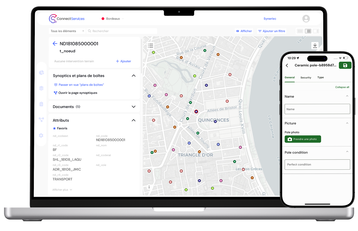
GIS solutions and expertisefor geospatial data management in Africa
Geospatial data now plays a central role in the management of infrastructure, networks and territories. Its quality, availability and ability to be shared directly influence operational performance, infrastructure knowledge and decision-making.
Dotic Maroc supports organisations in projects involving geospatial data, Geographic Information Systems (GIS) and infrastructure management. Our ambition is to provide African organisations with proven solutions, adapted to local uses and capable of addressing the practical challenges of data production, structuring, sharing and exploitation.
This approach combines industry expertise, technological know-how and an understanding of the challenges faced by infrastructure managers, network operators and territorial stakeholders.

Better infrastructure knowledge for better infrastructure management
As infrastructure develops, the data describing it becomes increasingly numerous and complex. Design studies, construction works, maintenance operations, asset inventories and network extensions continuously generate new information that needs to be integrated, structured and shared between different stakeholders.
In many African contexts, organisations have to deal with data produced by several contributors, distributed across different information systems and often difficult to consolidate.
The challenge is no longer only to produce data, but to build reliable and lasting knowledge of infrastructure in order to support its management, maintenance and development.
To address these needs, Dotic Maroc provides an ecosystem of complementary solutions covering the entire lifecycle of geospatial data.

Solutions supporting the lifecycle of your infrastructure data

Digitalise field operations and improve data reliability
A mobile GIS application dedicated to audits, asset inventories, inspections and field operations. ConnectField makes it easier to produce reliable geospatial data directly in the field, close to the infrastructure.
Learn more

Share a common cartographic view of infrastructure
A collaborative Web GIS platform dedicated to the visualisation, analysis and sharing of geospatial data. ConnectServices facilitates access to information and helps share infrastructure knowledge with all project stakeholders.
Learn more

Ensure data reliability before integration and use
A solution dedicated to structuring, governance and reliability of infrastructure data. ConnectControl supports organisations in building sustainable repositories tailored to their needs.
Learn more

Leverage geospatial data with artificial intelligence
An AI-assisted analytics platform that allows users to query data in natural language and automatically generate maps, indicators, charts and dashboards.
Learn more

Proven expertise supporting your projects
Dotic solutions are built on expertise developed over more than 18 years alongside infrastructure managers, network operators and territorial stakeholders.
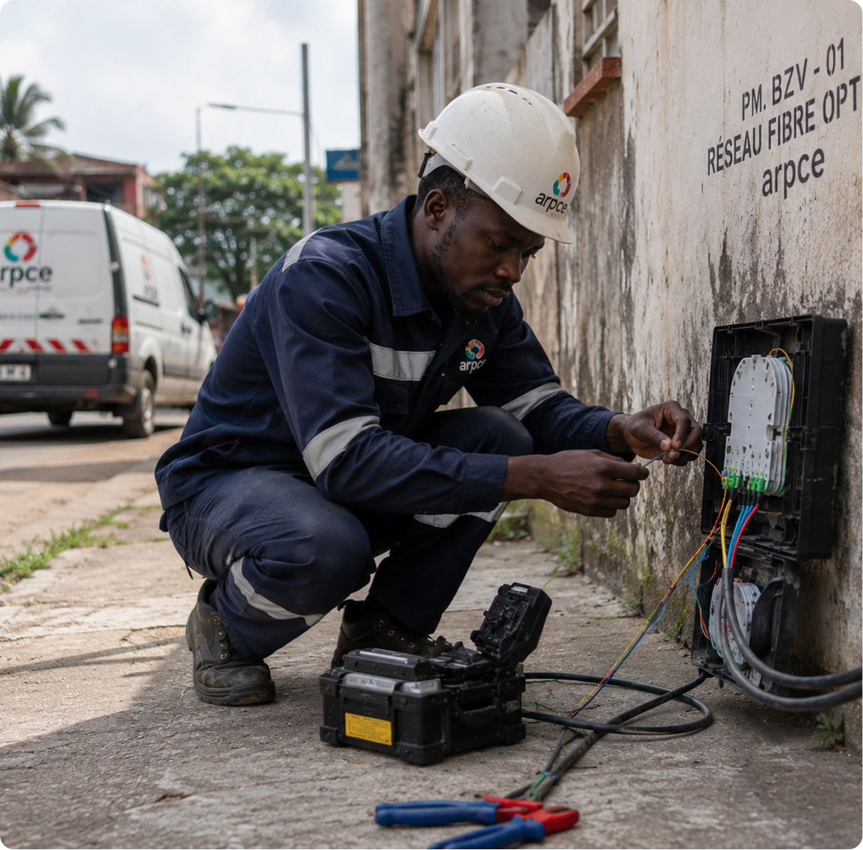
Deploy solutions adapted to your operational realities
The success of a project does not depend solely on choosing the right tools.
Whether deploying a Web GIS platform, digitalising field operations, structuring an asset repository or exploiting existing geospatial data, support is a key factor in project success.
Through Dotic Maroc, our teams support organisations in the integration, configuration and deployment of our solutions to ensure they fit business needs, existing information systems and field realities.
This support may include needs analysis, solution configuration, data migration, user training and go-live assistance.
Discover the extent of our know-how and expertise.