Learn more about our expertises and stay up to date with the latest news from Dotic Group and its innovations

ConnectServices evolves: discover editing mode for designing and updating your networks
The ConnectServices industry-focused GIS platform now includes a powerful new feature: editing mode. Create, modify and update your infrastructure data directly within the web GIS environment — without switching between tools.La solution SIG métier ConnectServices s’enrichit d’une nouvelle fonctionnalité clé : le mode édition. Créez, modifiez et mettez à jour vos données d’infrastructures directement dans le WebSIG, sans changer d’outil.
04/28/2026

ConnectServices now includes a new FTTH incident management module
Discover the new feature dedicated to monitoring and managing incidents across FTTH infrastructure networks.
03/17/2026
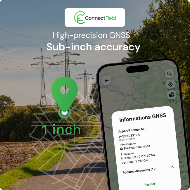
ConnectField enhances field surveys with Teria PYX GNSS accuracy
Recent developments in the ConnectField mobile application now enable connectivity with professional GNSS devices.
02/27/2026

Meet Dotic at GITEX Africa 2026
Dotic and its Moroccan subsidiary DM Geosoftware are strengthening their ambitions across the African market.
03/31/2026


Field data collectionIntervention terrain
High-Precision GNSS Field Surveys for PAS 128 compliance

Geospatial data quality control
Industrialising geospatial processing: from traditional GIS to data engineering

A selection of use cases



Ensure the quality of FTTH infrastructure data throughout the network lifecycle
Upon completion of an FTTH network deployment project, infrastructure operators are required to deliver a dataset compliant with the GraceTHD national exchange standard to the contracting public authority responsible for the project.